
Cayucos coastal bluff
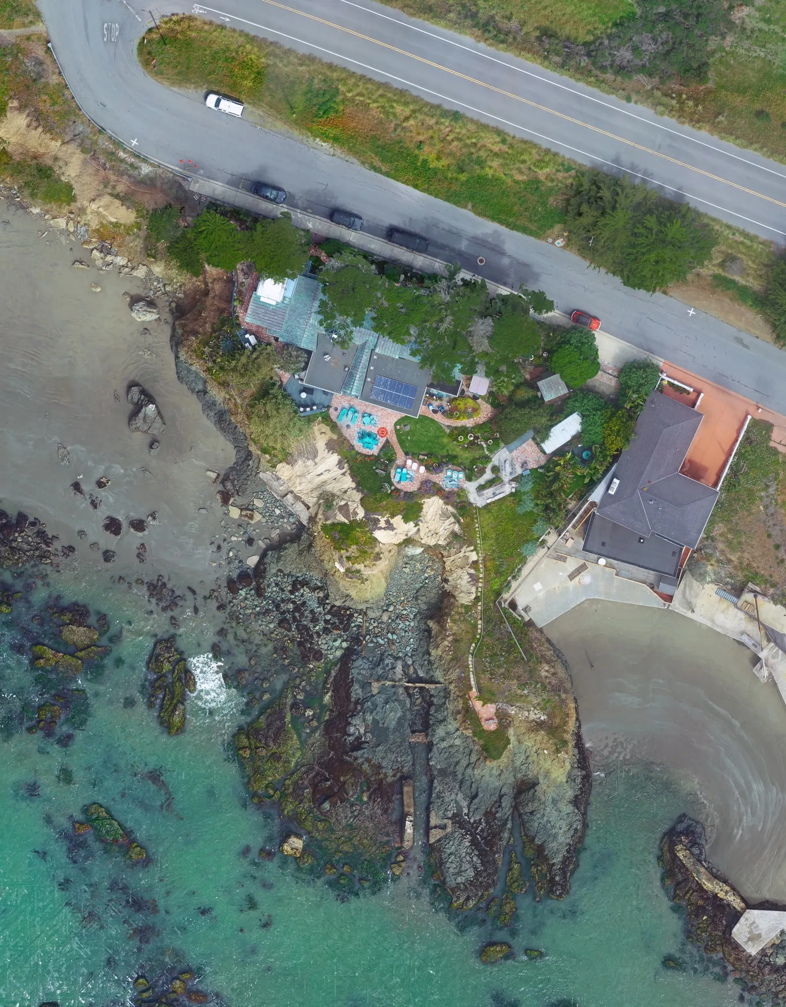
An eroding bluff below a home on Highway 1 in Cayucos. We mapped it for the project’s land surveyor in February 2020 and again in March 2026, both times flying angled photos at the cliff face as well as straight down.
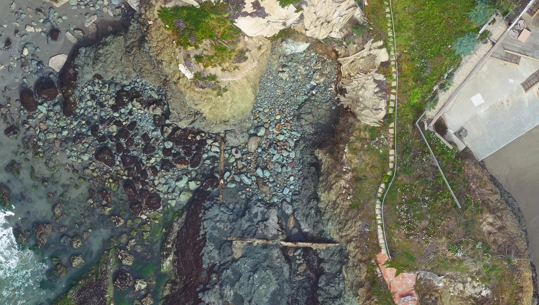
The cliff face is where the ground is being lost
A camera pointed straight down sees the top of a bluff and the beach below it, but very little of a steep face and nothing under an overhang. So on both surveys we flew a second set of passes along the cliff with the camera angled toward it. Those oblique photos are triangulated together with the vertical ones, and the face is measured in 3D like everything else on the site.
- Location
- Highway 1, Cayucos, San Luis Obispo County
- Flights
- February 28, 2020, and March 25, 2026
- Hired by
- The land surveyor on the project, both times
- Method
- Drone photogrammetry with vertical and oblique photos
- Ground control
- Targets and check points set and surveyed by the land surveyor
- Coordinates
- NAD83 California State Plane Zone 5, US survey feet
- Contours
- 1 foot
- 2020 deliverables
- Topographic map and terrain model (AutoCAD DWG)
- 2026 deliverables
- Planimetric map and terrain model (DWG), orthophoto (GeoTIFF), textured 3D mesh
The first survey
In February 2020 a land surveyor working for the owner asked us to map the bluff, concentrating on the section that had eroded the most. The surveyor set targets and check points around the property and on the beach and measured them with a Trimble R8 GNSS receiver. We flew nine passes at 131 feet with the camera pointing down, then a run about 90 feet off the cliff face with the camera tilted 40 degrees, 158 photos in all, at about half an inch per pixel.
We triangulated the photos in Trimble Inpho UASMaster and compiled the topography in 3D stereo, and two weeks after the flight the surveyor had a topographic map with 1-foot contours and a terrain model in AutoCAD. The project was written up in GeoConnexion (August 2020) and GPS World (March 2021).
Back to the same bluff
In March 2026 another land surveyor brought us back to the same stretch of bluff. The surveyor set and measured five targets and three check points, and we flew twice: once with the camera pointing down in a crosshatch pattern, and once along the cliff with it tilted. 130 photos went into the adjustment, and the result matched the five surveyed targets to 0.03 ft horizontally and 0.02 ft vertically (RMSE).
From the stereo model we compiled the planimetric features and breaklines and built the terrain model. We also produced an orthophoto with 0.055-foot pixels (about two-thirds of an inch) and a textured 3D mesh of the whole bluff, all delivered in April.
The whole site, and the cliff at full resolution
The bluff as a point cloud
Drag to orbit, pinch or scroll to zoom.
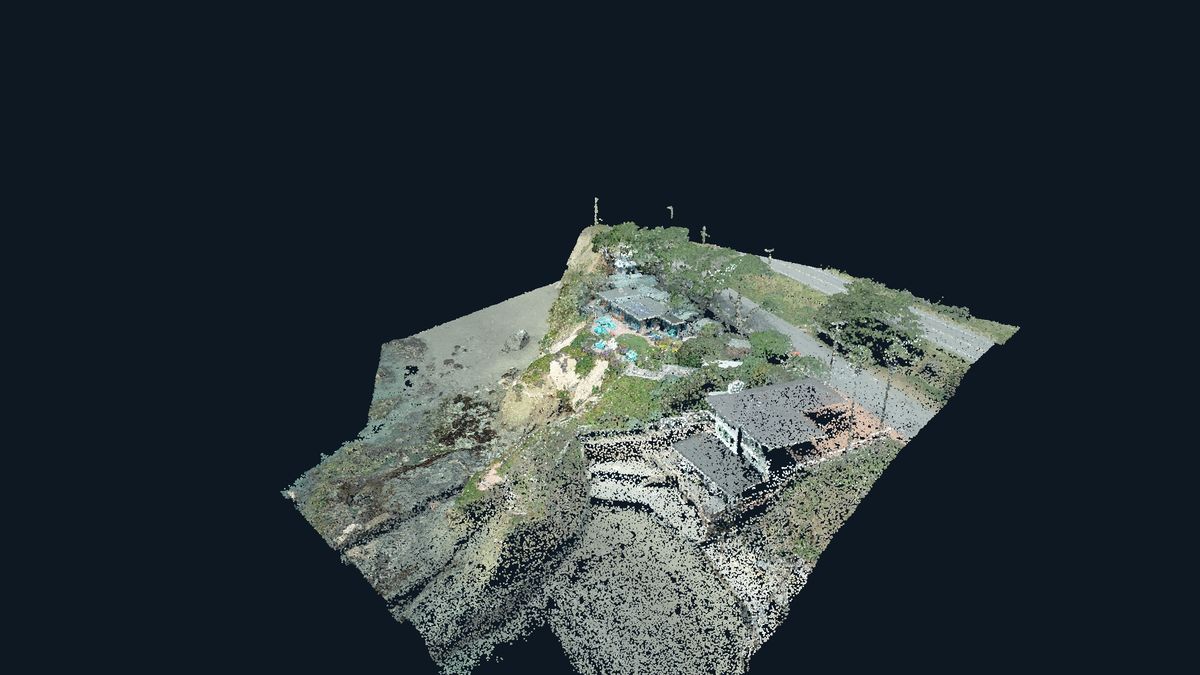
Interactive 3D model. Drag to orbit, pinch or scroll to zoom.
Interactive 3D isn’t available on this device, so here’s a still image instead.
More on how we build these: 3D reality capture · aerial imagery and photogrammetry · FAQ
Have a bluff, slope or seawall to map?
Send us the location and what the mapping is for, and we’ll work out the flights.
Get a quote