Skip to content
(805) 543-4307
GET A QUOTE
  • About Us
  • Services
  • Projects
  • Contact Us
Menu
  • About Us
  • Services
  • Projects
  • Contact Us

Project Gallery

GET A QUOTE
Belridge Oil Fields
Schools & Residental Areas
Tajiguas Landfill
Ventura Harbor
San Luis Obispo, Ca
Pasadena Rose Bowl
Getty Museum, Los Angeles
Shopping Centers
Dana Point Harbor
La Jolla, CA
El Monte Water Pipeline
Morro Bay Rock, Morro Bay, CA

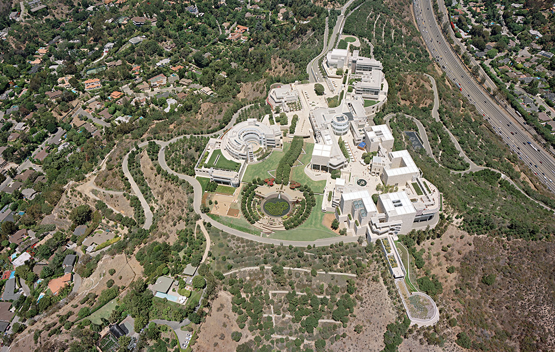
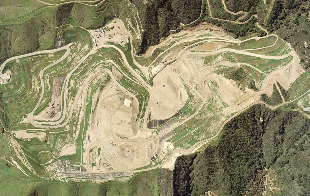
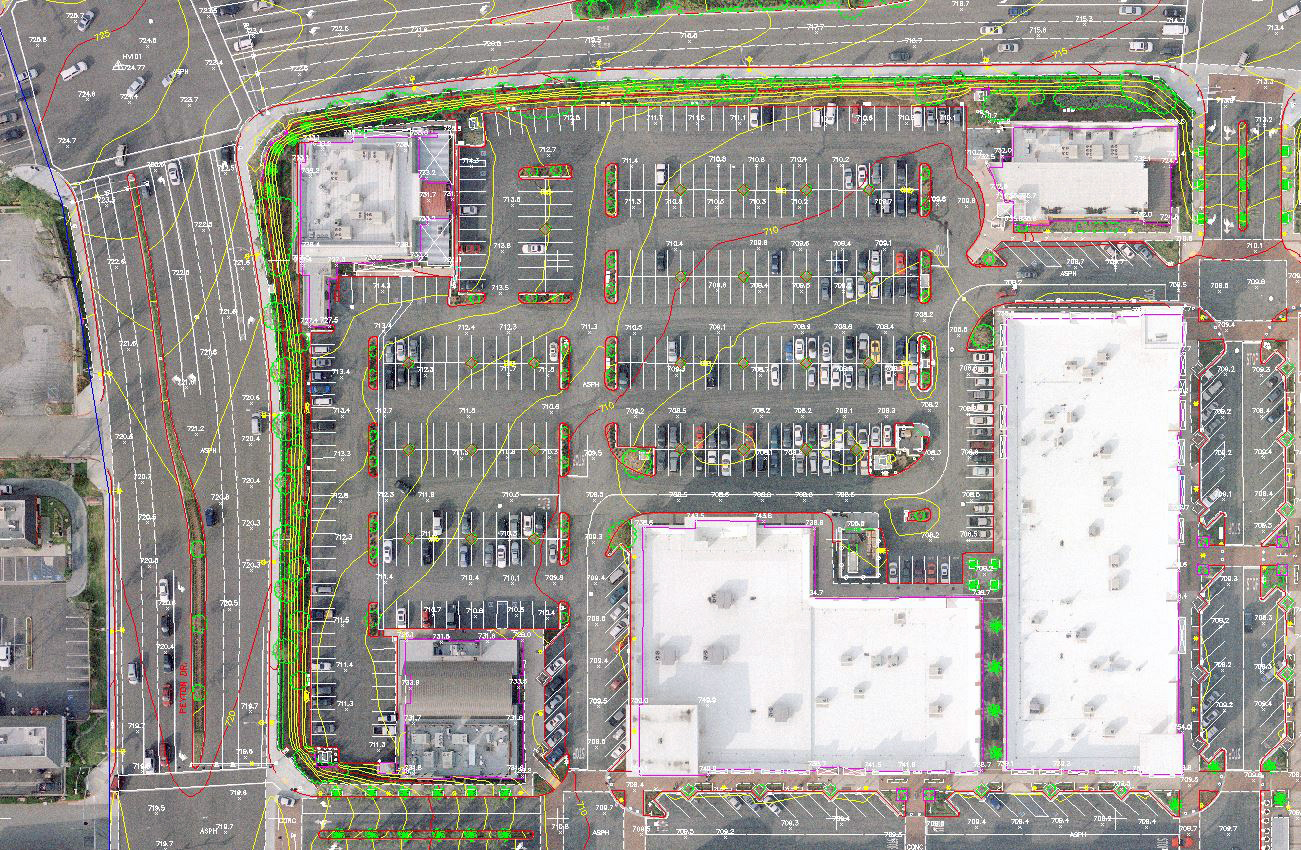
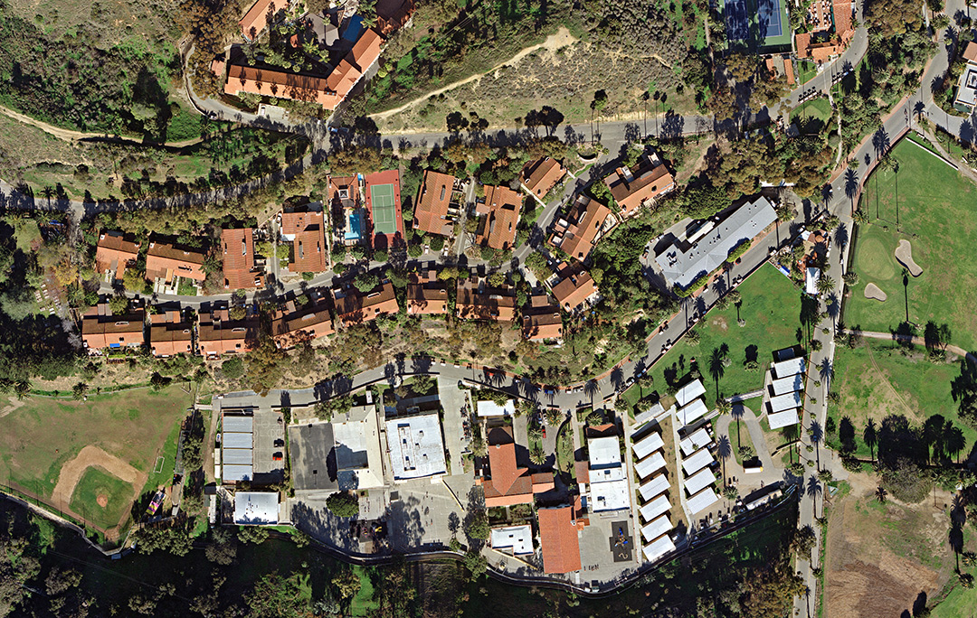
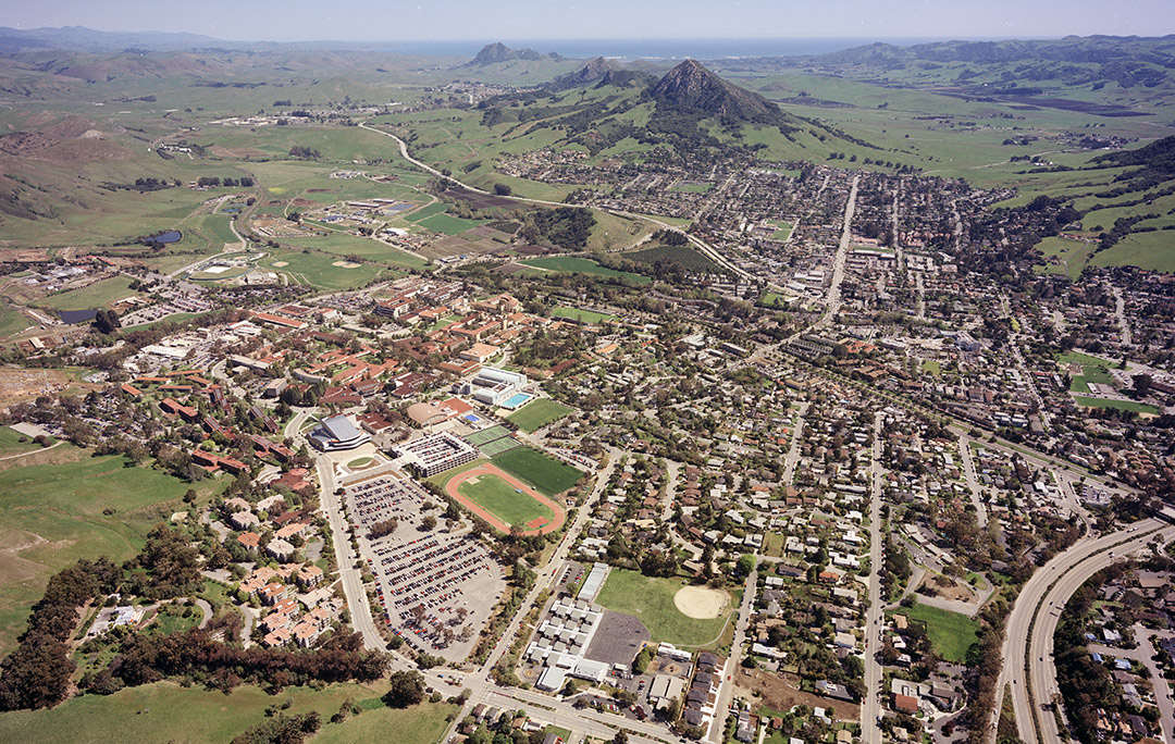
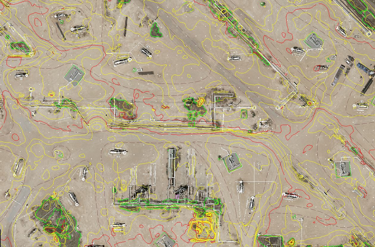
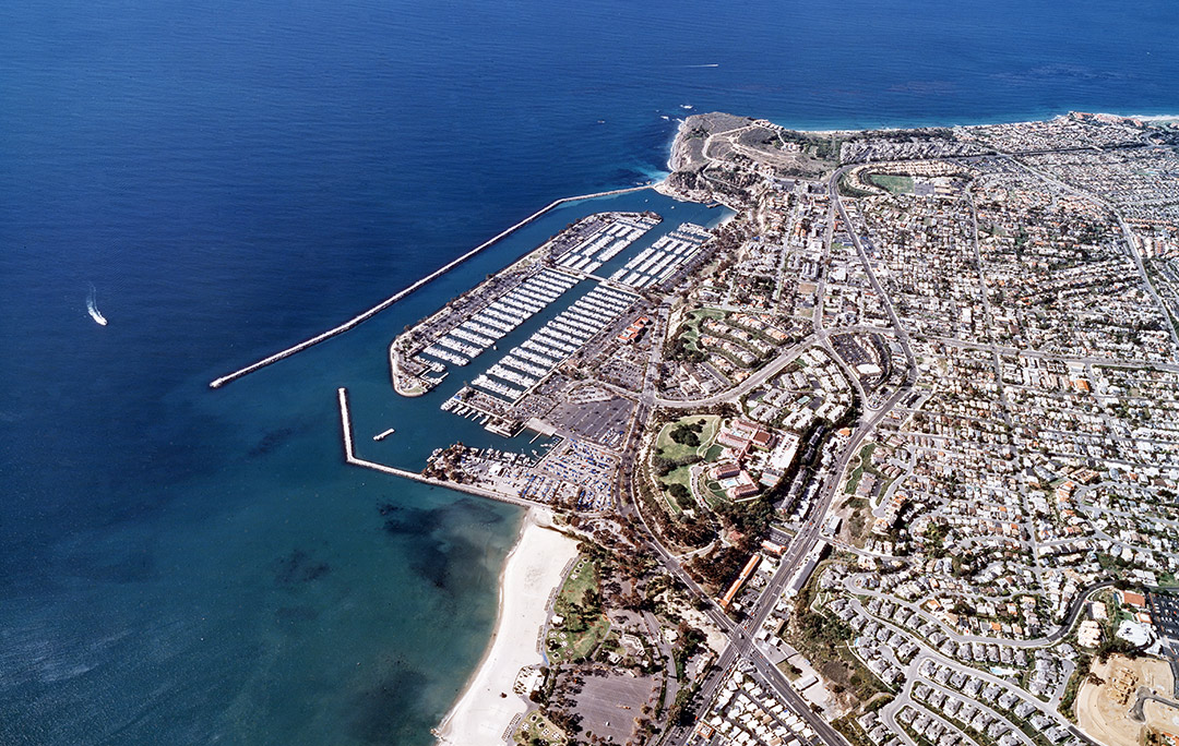
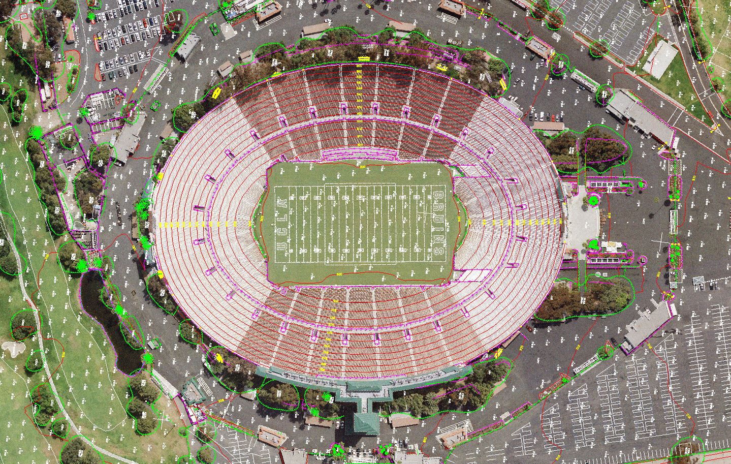
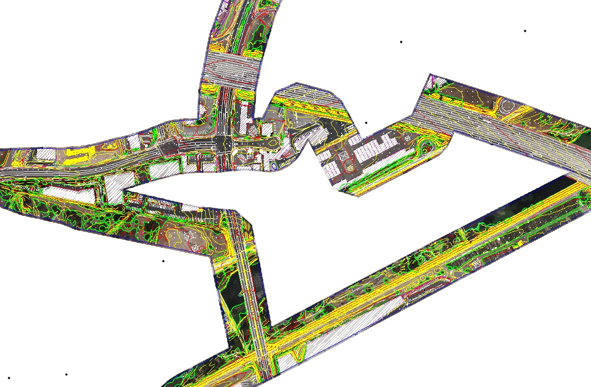
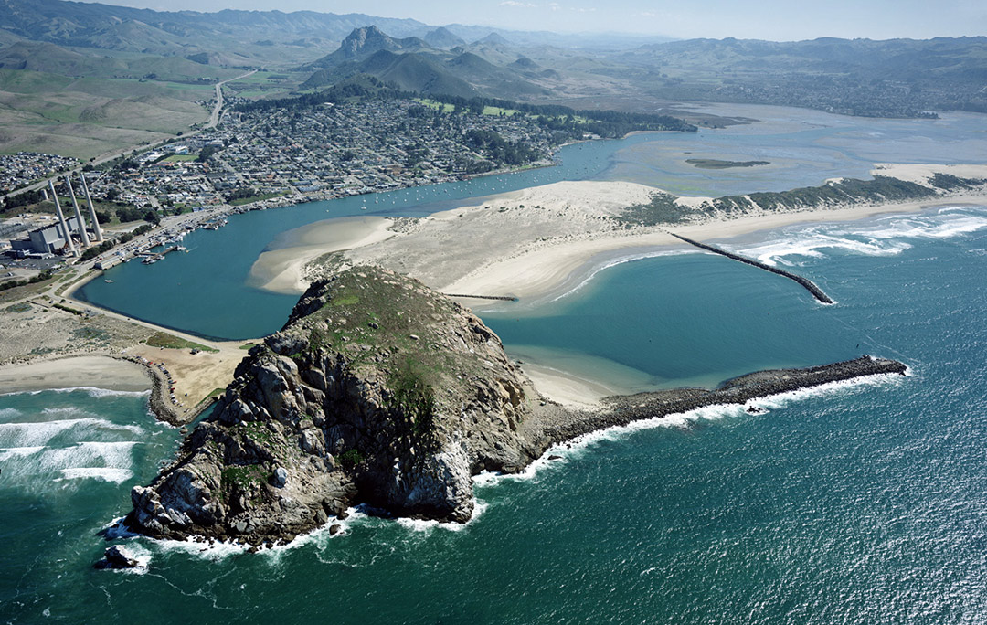
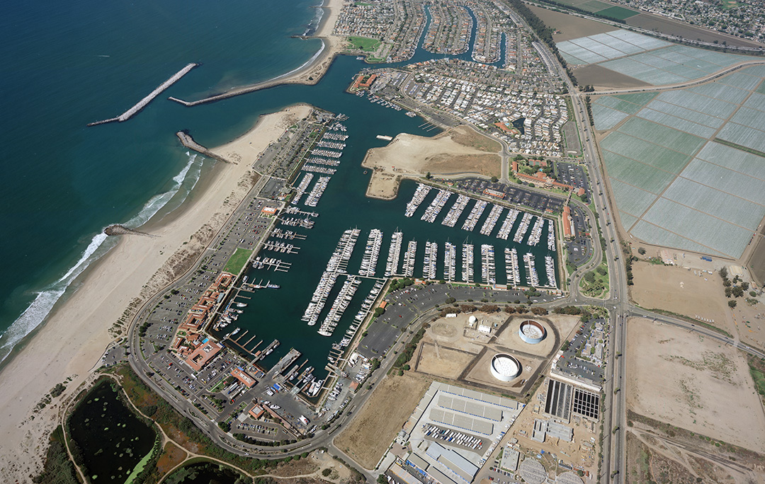
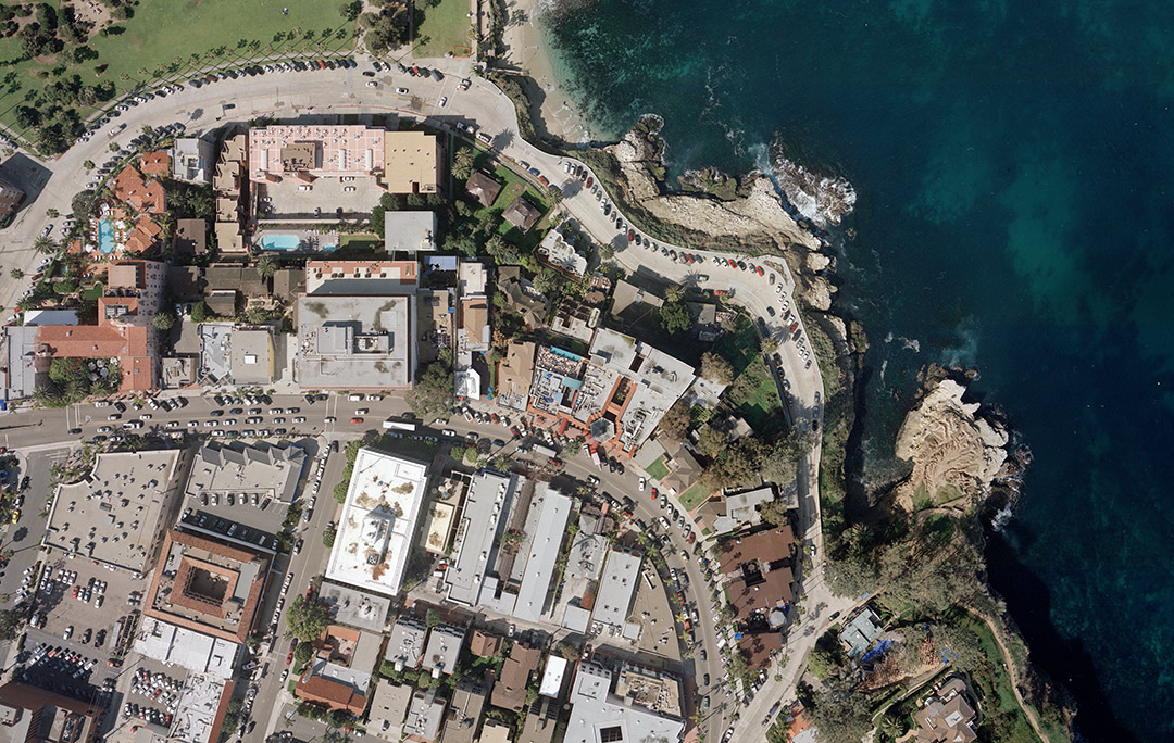
Central Coast Aerial Mapping offers photogrammetric mapping, surface models, analytical bridging and digital orthophotography servicesĀ in houseĀ at our facility located in San Luis Obispo, CA. Our experienced photogrammetric technicians and modern 3D equipment provide the highest accuracy and resolution for our aerial maps.

Facebook-f Twitter Instagram
  • About
  • Projects
  • UAV Drone Mapping Using Photogrammetry
  • Photogrammetric Mapping
  • Digital Orthophotos
  • Digital Terrain Models (DTM)
  • Hi-Res Scanning
  • UltraCam X Digital Camera