UAV Drone Mapping Using Photogrammetry
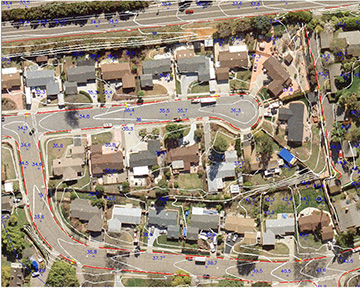
Rather than just provide a point cloud or orthophotos, we are able to produce full 3D stereo line work with drone imagery using stereo photogrammetry.
Rather than just provide a point cloud or orthophotos, we are able to produce full 3D stereo line work with drone imagery using stereo photogrammetry.
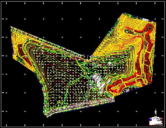
We produce topographic maps that use contour lines to render 3D terrain on a 2D surface, delivered in AutoCAD DWG or Microstation DGN format.
We transform vertical aerial photos into map-accurate imagery that shows real cultural and land features — instead of symbols or lines.
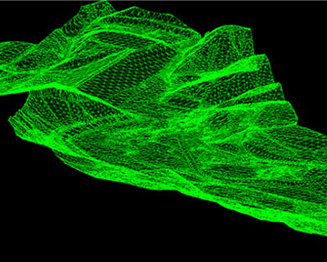
We build 3D terrain models from stereoscopic photo pairs and ground control points — the foundation for accurate orthophotos and surface analysis.
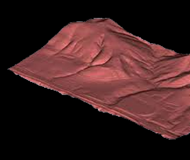
Triangular-mesh 3D surfaces we derive from our DTM data, supporting hydrology, earth-volume calculations, and engineering design.

Our RM-6 scanner handles roll film or individual frames with real-time tonal correction and consistent geometric accuracy — no resampling.
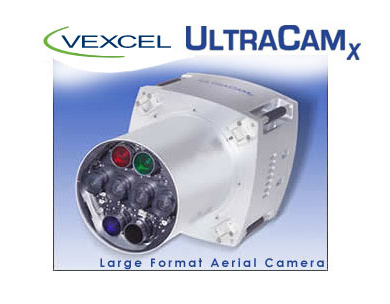
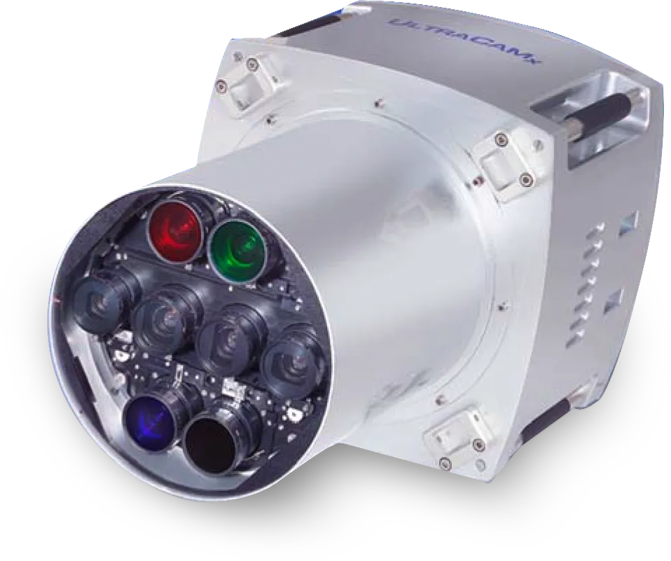
Vexcel’s new UltraCamX provides the same obvious advantages over film cameras as the UltraCamD, but with superior specifications and extended capabilities.