Central Coast Aerial Mapping offers photogrammetric mapping, surface models, analytical bridging and digital orthophotography services in house at our facility located on the Central Coast of California. Our experienced photogrammetric technicians and modern 3D stereo softcopy equipment provide the highest accuracy and resolution for our aerial maps. We comply with map accuracy standards as set forth by Mapping Guidelines published by the American Society for Photogrammetry and Remote Sensing and the American Congress on Surveying and Mapping printed by U.S. Department of the Interior, U.S. Geological Survey National Mapping Division file report 86-005: Reston, Virginia. We are qualified by CALTRANS for 3D digital mapping and remote sensing.
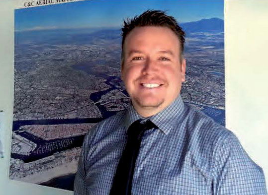
Robert Lafica
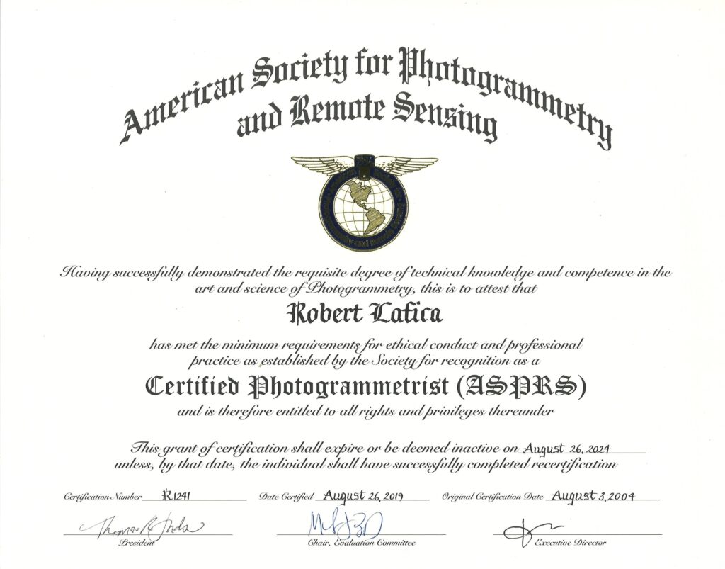
Robert Lafica is a certified Photogrammetrist by the American Society for Photogrammetry and Remote Sensing. ASPRS CP-1241. and is currently a supervisor at CCAM working with numerous State, County and City agencies including the LA County Transportation Commission, Metro Rail and the Los Angeles International Airport.
Robert has over 30 years of experience in the field of photogrammetric mapping. He continually adapts and institutes the cutting edge of aerial mapping technology with hard work and team leadership. This focus results in CCAM continuing to provide high quality maps to their clients.
OUR HISTORY
Three generations of Photogrammetric Mapping
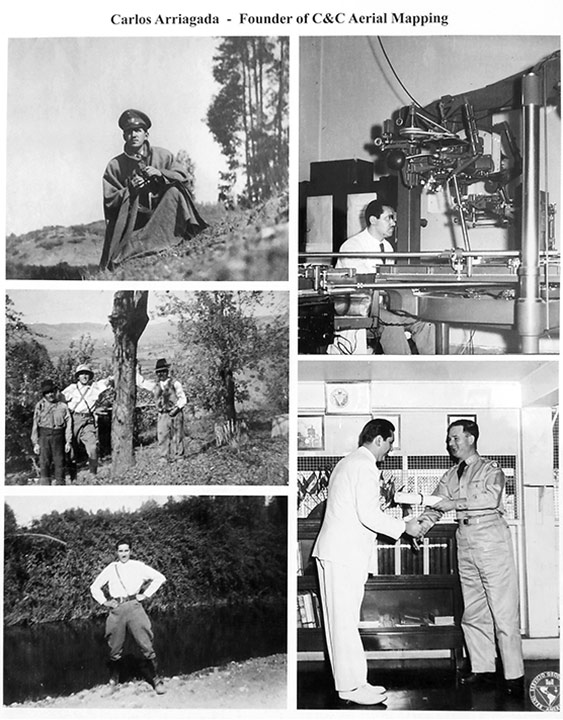
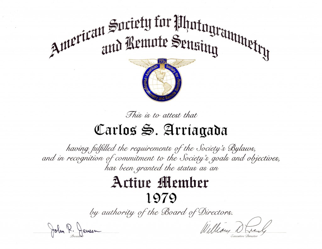
In 1951, Carlos Arriagada worked for the Chilean Geographic Military Institute (GMI) and was assigned with a military commission to survey the terrestrial boundary limits between the frontier of the Republic of Chile and Argentina. After many months out in the field, he decided to pursue the field of Photogrammetry and attended the Chilean Institute of Geodetic Survey and the Panama Institute of Geodetic Survey. Prior to coming to the United States he was a Photogrammetry professor at the Chilean Geographic Institute.
In 1962 he was offered a Photogrammetric position at Surdex Corporation in St. Louis, Missouri and immigrated to the United States with his wife and four children. In 1977, he founded C&C Aerial Mapping Services located in San Dimas, CA. Carlos introduced his daughter Beatriz to Photogrammetry at an early age and in 1994 she incorporated Central Coast Aerial Mapping in San Luis Obispo with her son Robert Lafica (Carlos’s Grandson).