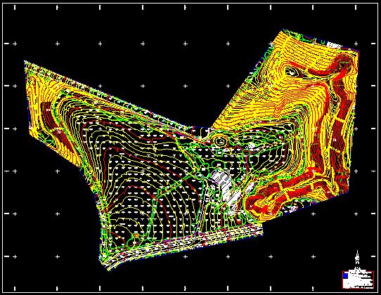
One of the most widely used of all maps is the Photogrammetric topographic map. The feature that most distinguishes Photogrammetric maps from maps of other types is the use of contour lines to portray the shape and elevation of the land.
Photogrammetric maps render the three-dimensional ups and downs of the terrain on a two-dimensional surface. Photogrammetric maps usually portray both natural and man made features. They show and name works of nature including mountains, valleys, plains, lakes, rivers, and vegetation.
They also identify the principal works of man, such as roads, boundaries, transmission lines, and major buildings.The wide range of information provided by topographic maps make them extremely useful to professional and recreational map users alike. Photogrammetric maps are used for engineering, energy exploration, natural resource conservation, environmental management, public works design, commercial and residential planning.We have the ability to compile full 3D mapping products in digital format.
We utilize DAT/EM SUMMIT EVOLUTION digital Photogrammetric workstations. Our mapping process consists of creating a DTM that consists of 3D breaklines and points. These methods facilitate the engineers to create surface models, hydraulics engineering, alignment and cross sections. Using a DTM (Digital Terrain Model) process, resulting in achieving high accuracy in development of a TIN (triangular irregular network). Our final map files can be delivered in an AutoCAD DWG or Microstation DGN format.